

Solutions


Capabilities
Products
Resources


Execute critical analytics without reliance on connectivity.
Enhance AI refinement by providing verified ground-truth data in disconnected environments.
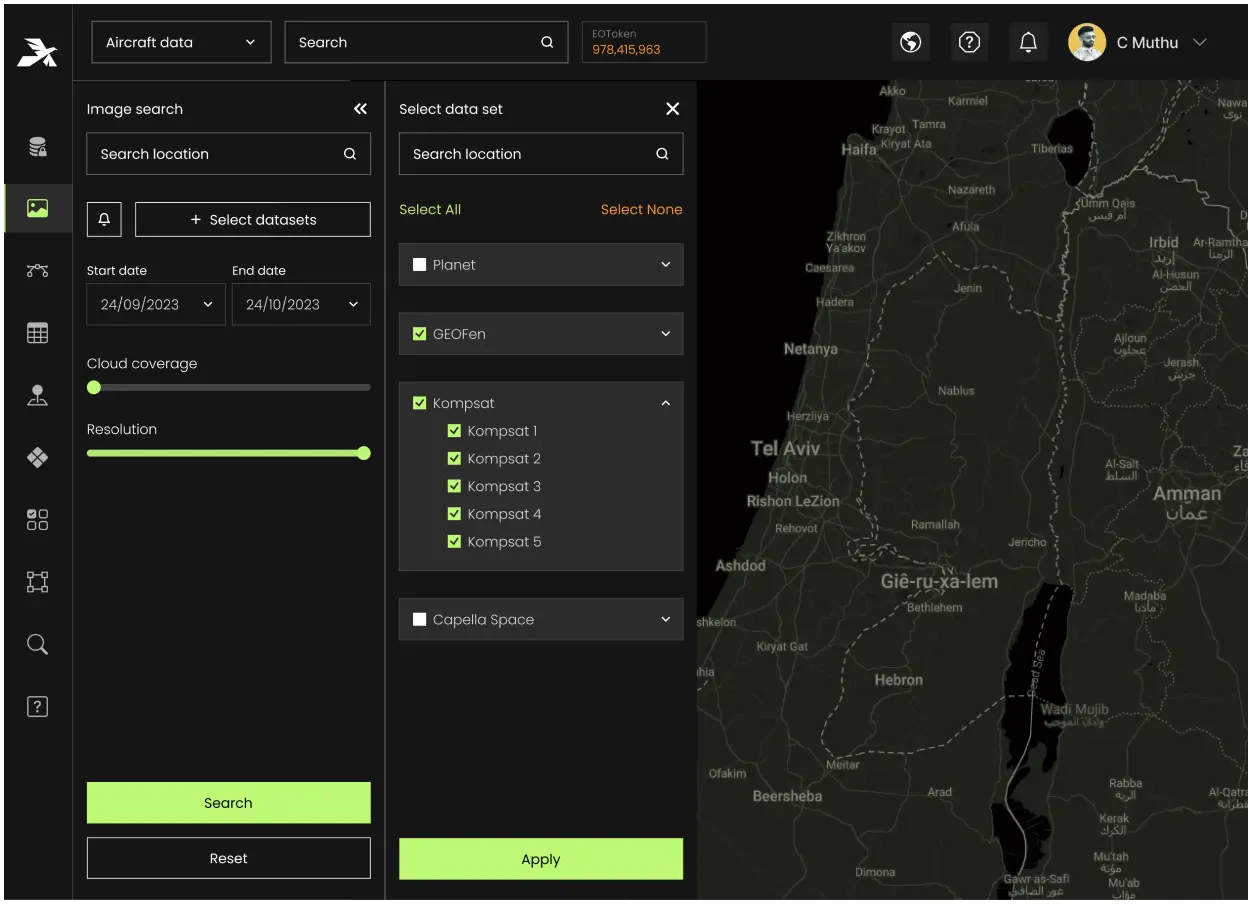
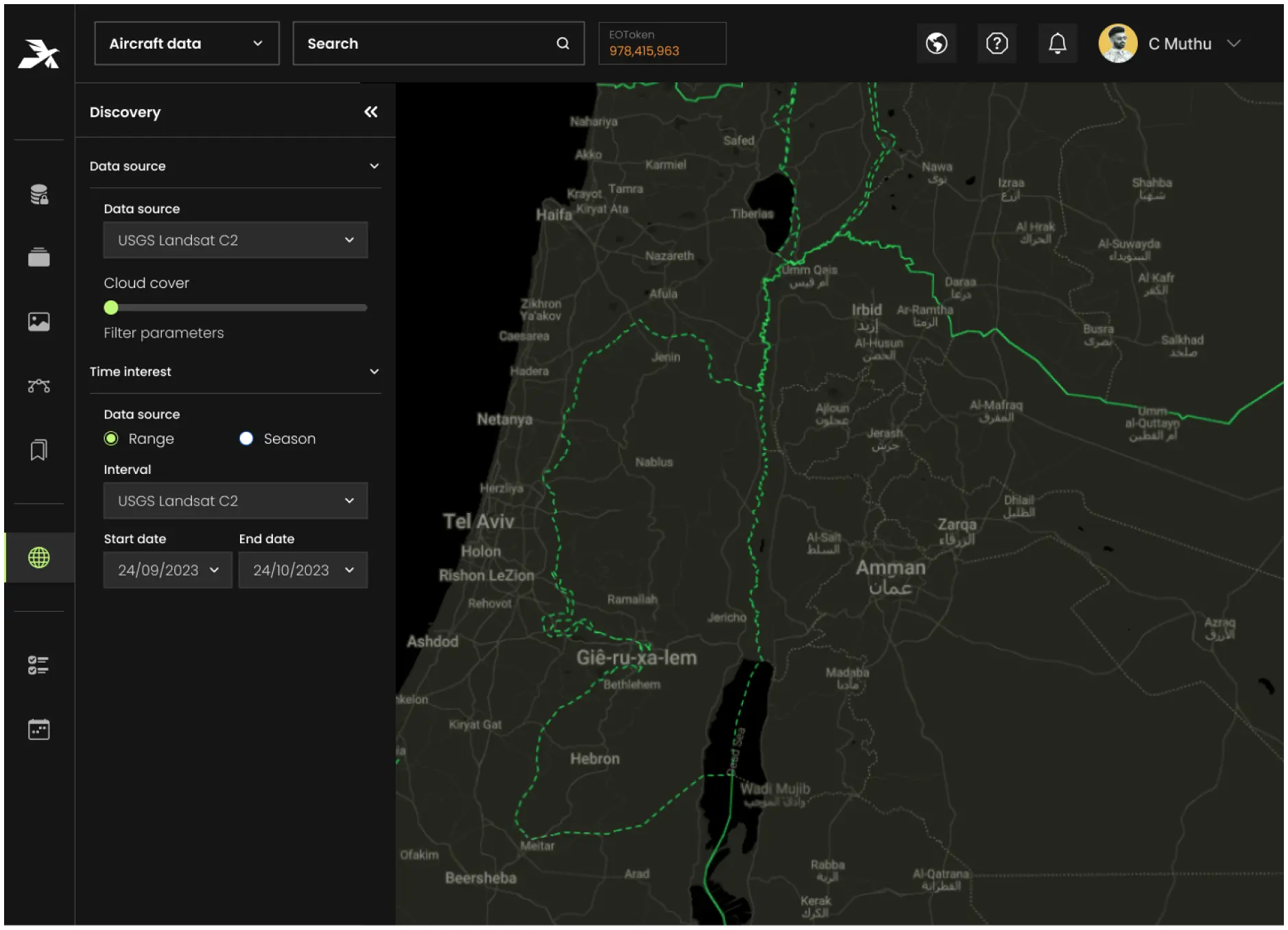
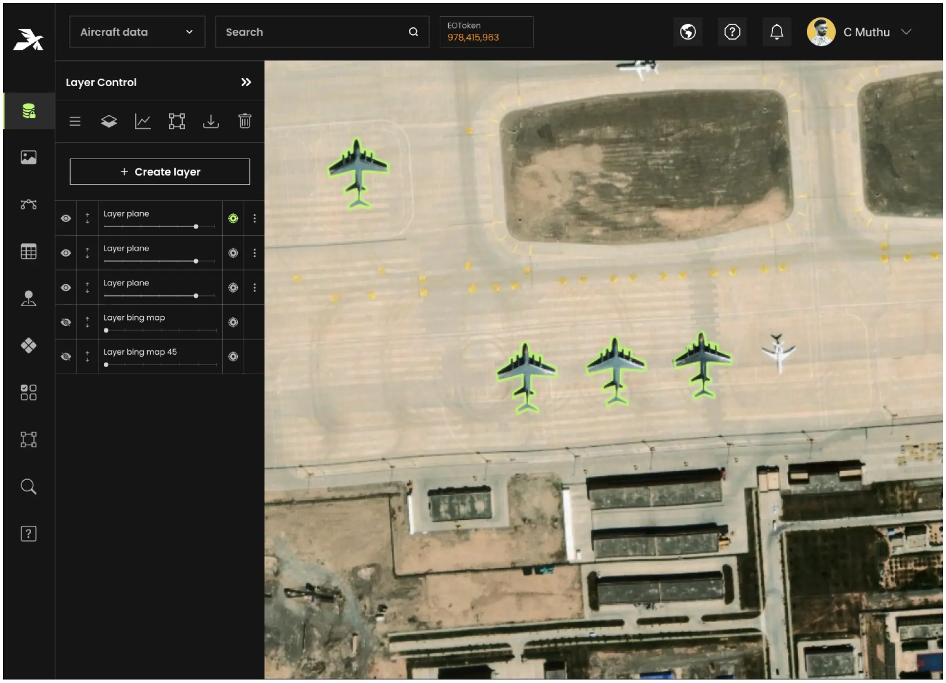
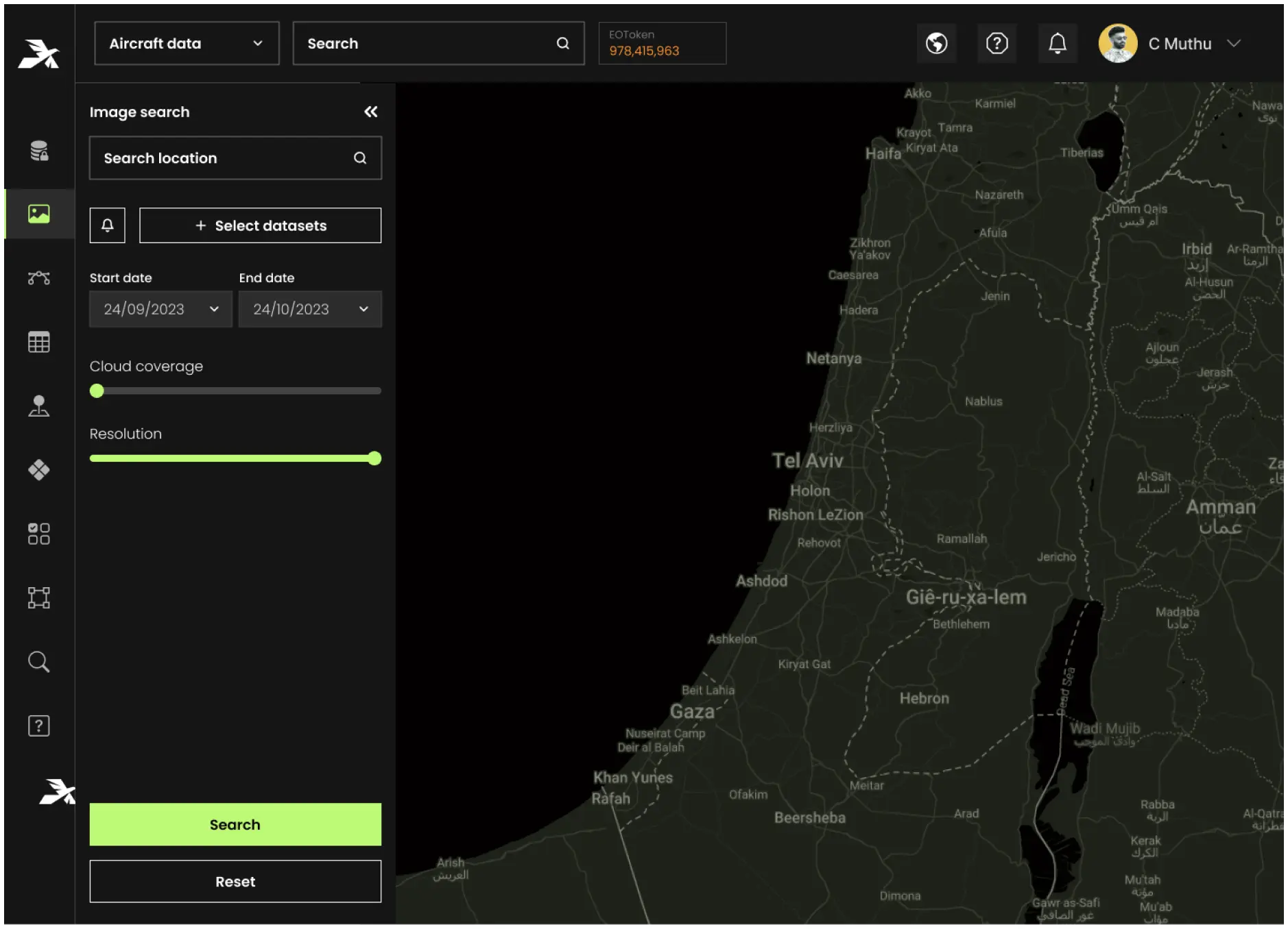
Collect and validate high-resolution geospatial data with precision.
Perform autonomous operations in disconnected environments with full data syncing upon reconnection.


Enhance field operations by enabling teams to validate and act on geospatial intelligence in real-time. From IMINT analysis to progress tracking, Aetos GO ensures operational efficiency even in remote or hostile territories.
Streamline urban planning, disaster response, and asset monitoring with offline capabilities and geospatial workflows that sync seamlessly across departments.
Optimize mining activities with offline task chains, real-time data validation, and efficient resource tracking to ensure operational continuity and enhanced productivity.