Products/Aetos Browser

Secure, Mission-Critical
Intelligence Aggregation

Task and access multiple satellites from one platform. Enable real-time situational awareness, threat detection, and decision support for defense and government agencies.
The Problem
The rapid surge of satellite launches has fragmented geospatial data across multiple providers, leading to inefficiencies and critical delays in mission-oriented operations.
The Future
To meet evolving defense needs, platforms must unify diverse data sources, prioritize archival over costly tasking, and maintain adaptability in dynamic environments.
Our Belief
Centralized intelligence is fundamental to mission success. By streamlining satellite tasking, our solution delivers actionable insights that empower defense teams to make timely, informed decisions.
With trusted intelligence solutions, defence organizations can secure mission success with confidence and precision
Traditional satellite access platforms often constrain defence agencies with rigid workflows, limiting their ability to adapt and respond effectively during high-stakes operations.
image with logo aetosky in center
Monitor strategic sites, plan operations with detailed mapping, and conduct accurate damage assessments, ensuring operational superiority and adaptability in critical scenarios.

Features for Intelligence and
Defense Operations

Unlock Tactical Intelligence with
Advanced ISR Capabilities

Archive-First Tasking Approach

Utilize historical satellite imagery and intelligence data for cost-efficient operational planning and analysis before initiating tasking.

Automated Analysis Ready Data (ARD) Preparation

Transform raw satellite data into Analysis-Ready Data (ARD) automatically, enabling rapid integration into workflows without technical expertise.

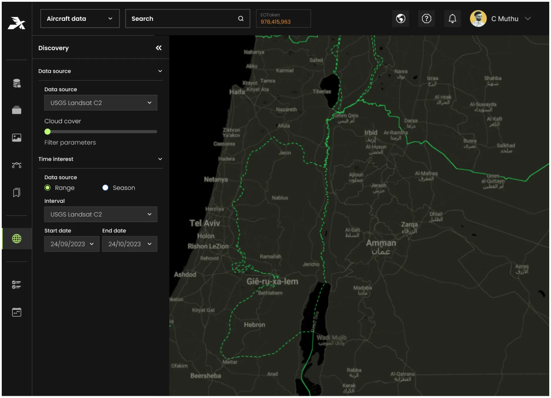
Redundancy-Enhanced Tasking Module

Ensures uninterrupted intelligence gathering by incorporating failover mechanisms, such as alternative satellite or sensor options, when primary tasking resources are unavailable.

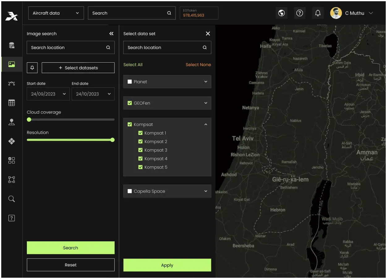
Out-of-the-Box (OOTB) Connectors

Integrate quickly with 100+ satellite sensors, geospatial platforms, and command systems, ensuring seamless interoperability, swift deployment, and mission-ready performance.

Collaborative Intelligence Sharing

Secure, real-time collaboration across defense agencies, government bodies, and partners, ensuring aligned intelligence sharing for joint operations.
E
n
t
e
r
p
r
i
s
e
 
-
 
R
e
a
d
y
 
P
r
o
d
u
c
t
s
 
t
h
a
t
Scale with Your Operations
Scroll to explore

Secure, Scalable,
and Modern Cloud Solutions

Optimized for resilience, scalability, and high availability, Aetosky ensures operations are supported on trusted and compliant systems.
creodias
azure
aws
gg-cloud
Hybrid Cloud Deployment:
Combine private cloud for handling sensitive workloads with public cloud scalability for non-sensitive operations.
Scalable Performance:
Elastic cloud architectures to dynamically allocate resources based on operational demands.

Powered by Aetos Core

Autoscaling & Resource Management
Seamless autoscaling and dynamic resource allocation, ensuring high performance even with large-scale geospatial models.
Continuous Delivery
Uninterrupted operations, ensuring smooth AI model deployment and real-time analysis without downtime.
Advanced Governance
Gain complete control over AI workflows with Aetos Core’s robust governance features, including detailed reporting and secure oversight.
Multi-Cloud Flexibility
Whether operating in public, private, or hybrid cloud environments, Aetos Core ensures seamless deployment and integration, providing the flexibility needed for mission-critical operations.
Discover how Aetosky can
modernize your GEOINT
operations
Request Demo