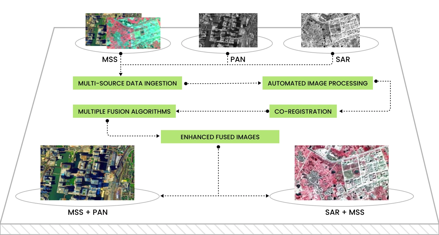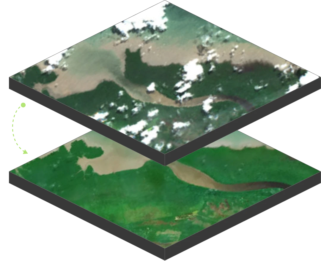
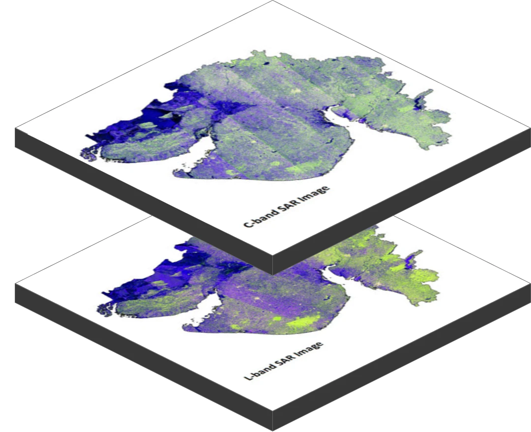
Experience high-resolution satellite imagery with zero cloud interference, providing unmatched clarity for terrain and infrastructure analysis in mission-critical environments.
Experience high-resolution satellite imagery with zero cloud interference, providing unmatched clarity for terrain and infrastructure analysis in mission-critical environments.


Solutions


Capabilities
Products
Resources