Intelligence Capabilities of Tomorrow.
Delivered Today.

Empowering the Foundation of a Safer, More Resilient Tomorrow.
With trusted solutions, organisations can navigate strategic, tactical, and operational challenges with clarity and precision.
Legacy GEOINT systems lack the adaptability for today’s fast-evolving environments, often hindered by inflexibility, data silos, and poor integration—limiting operational readiness and decision-making.
image with logo aetosky in center
Aetosky delivers secure, interoperable platforms that turn geospatial data into actionable insights, empowering decision-makers to tackle challenges with precision and ensure mission success.

What we do

the rocket is being launched into the sky
EMPOWERING DECISION-MAKERS WITH PRECISION INTELLIGENCE
Gain operational superiority with GEOINT-driven insights, enabling strategic decisions essential for mission success.
ENGINEERED FOR THE
WORLD’S MOST
COMPLEX MISSIONS
Achieve uncompromised security, resilience, and seamless integration, scaling to meet the toughest demands of defense and enterprise operations.
TURNING DATA INTO
ACTIONABLE
INTELLIGENCE
Transform multi-source data into situational awareness and strategic action with advanced analytics.
RELIABILITY WHERE
IT MATTERS
MOST
Access dependable intelligence from field bases to command centers, ensuring continuity even in DDIL environments.

Where we're going

Empowering organizations with advanced GEOINT and AI-driven capabilities to lead in an increasingly complex world.
By leveraging Earth technologies, we drive a deeper understanding of our planet, unlocking insights to advance humanity and shape a resilient, data-driven future.
city with dark light
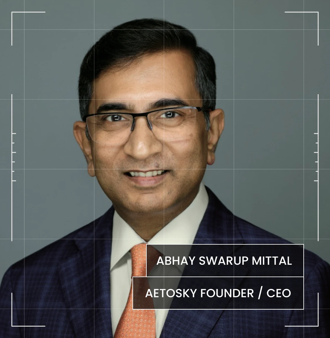
ceo of aetosky
At Aetosky, we build advanced geospatial systems powered by AI to deliver resilience, precision, and security.
Our solutions empower governments to operate smarter and safer, ensuring decisive action in the most complex environments.

Transforming Outcomes Across
200+ Organisations

product powerful
Survey and Land Registration Bureau Bahrain
Read more
product powerful
Dubai Municipality
Read more
product powerful
Jharkhand Space Applications Center
Read more
Supporting the United Nations Sustainable Development Goals (UNSDGs)
Aligned with UNSDGs, we focus on integrating data, advanced analytics, and actionable insights to deliver measurable impact—from sustainable cities to climate resilience—shaping a future where technology enhances global well-being.
Explore Sustainability
01
ZERO
HUNGER
We provide actionable insights to improve agricultural productivity, optimize land use, and ensure sustainable farming practices. By leveraging satellite imagery, weather data, and machine learning, we empower stakeholders to increase food security, minimize crop losses, and promote sustainable farming practices to eradicate hunger globally.
1
NO
PORVERTY
2
ZERO
HUNGER
We provide actionable insights to improve agricultural productivity, optimize land use, and ensure sustainable farming practices. By leveraging satellite imagery, weather data, and machine learning, we empower stakeholders to increase food security, minimize crop losses, and promote sustainable farming practices to eradicate hunger globally.
3
GOOD HEALTH
AND WELL-BEING
4
QUALITY
EDUCATION
5
GENDER
EQUALITY
6
CLEAN WATER
AND SANTATION
We help monitor water resources, assess water quality, and track pollution levels. By integrating data from satellite imagery and environmental sensors, we provide actionable insights for sustainable water management, ensuring safe and reliable water access for communities around the world.
7
AFFORDABLE AND
CLEAN ENERGY
8
DECENT WORK &
ECONOMIC GROWTH
We provide actionable insights to improve agricultural productivity, optimize land use, and ensure sustainable farming practices. By leveraging satellite imagery, weather data, and machine learning, we empower stakeholders to increase food security, minimize crop losses, and promote sustainable farming practices to eradicate hunger globally.
9
INDUSTRY INNOVATION
& INFRASTRUCTURE
We empower governments and organizations with data-driven insights to develop robust infrastructure. By supporting critical asset monitoring and urban development, our platform drives innovation, enhances resilience, and enables smart, sustainable infrastructure that fosters economic growth and community well-being.
10
REDUCED
INEQUALITIES
11
SUSTAINABLE CITIES
AND COMMUNITIES
We enhance urban resilience by supporting smarter city planning, resource optimization, and risk management. Our solutions provide the intelligence to build sustainable, safe, and resilient cities that meet the evolving needs of urban communities, making cities more livable and responsive to their citizens.
12
RESPONSIBLE
CONSUMPTION & PRODUCTION
13
CLIMATE
ACTION
We equip organizations with tools to monitor environmental changes and detect climate-related risks in real time. By analyzing trends in deforestation, urban sprawl, and natural resource depletion, we help partners proactively address climate challenges, mitigate impact, and support global climate resilience efforts.
14
LIFE BELOW
WATER
15
LIFE ON
LAND
We enable organizations to monitor ecosystems, assess land use changes, and promote sustainable agricultural practices. Our technology aids in conserving biodiversity, protecting habitats, and fostering sustainable management of forests and other natural resources, contributing to a healthier planet.
16
PEACE AND JUSTICE
STRONG INSTITUTIONS
We strengthen public and national security efforts through intelligence solutions that support stable governance and peace. By enabling institutions to make informed, timely decisions, we contribute to building resilient, transparent institutions that promote peace, reduce conflict, and foster justice.
17
PARTNERSHIPS
FOR THE GOALS
goals

Aetosky Newsletter

See more
Discover how Aetosky can
modernize your GEOINT
operations
Request Demo