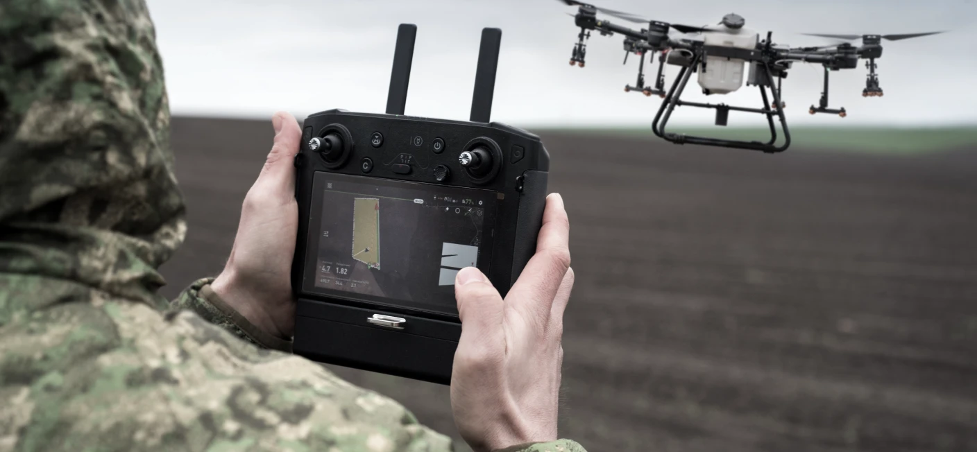
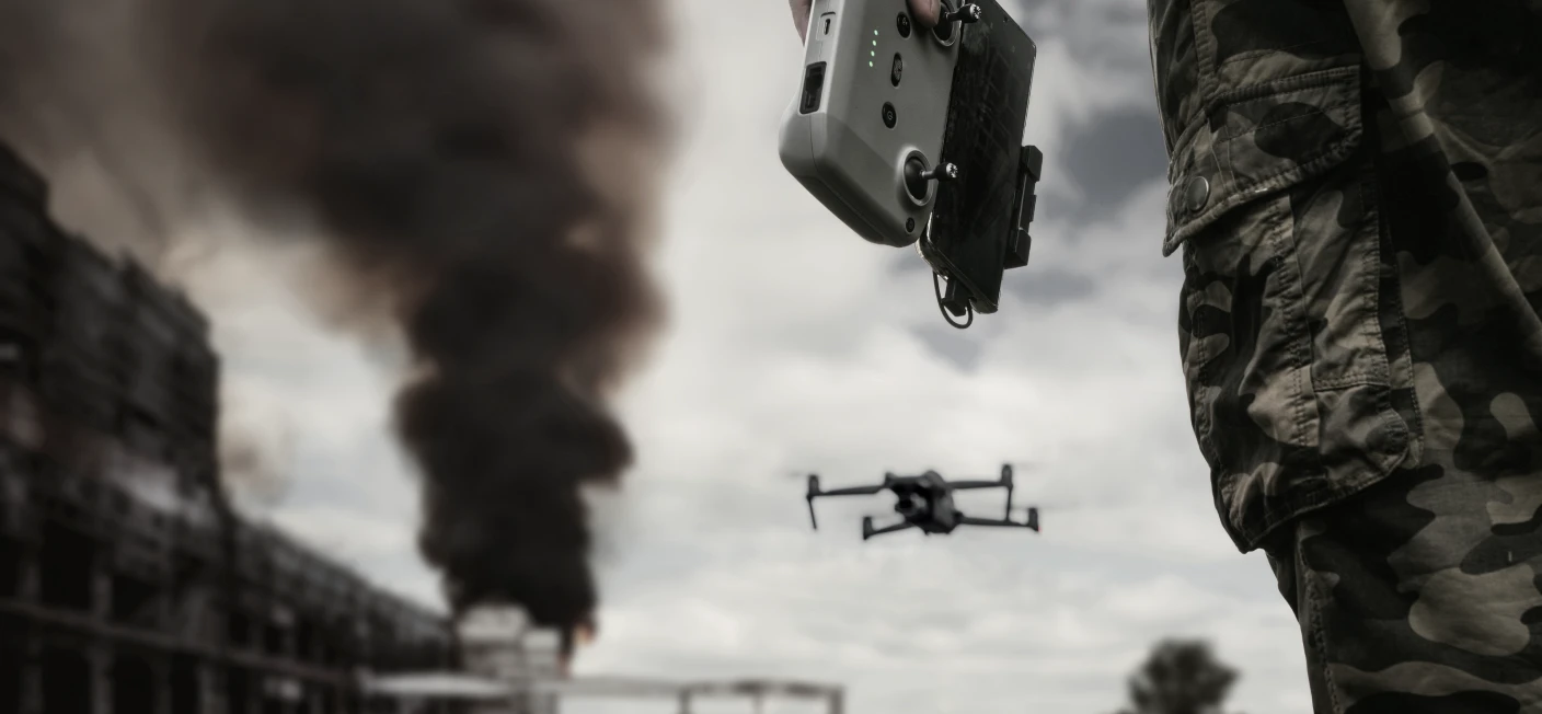
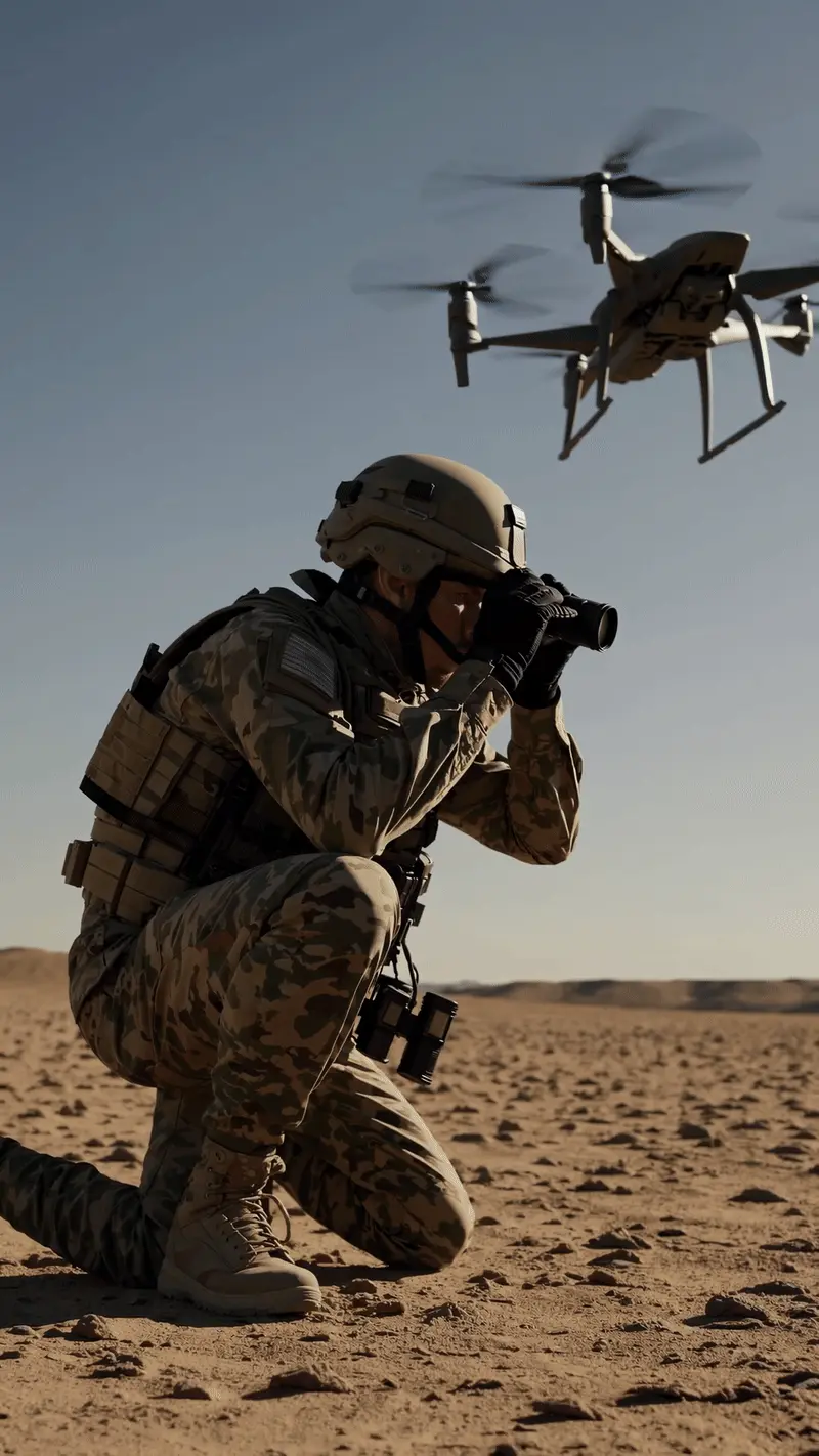
Conduct ISR (Intelligence, Surveillance, and Reconnaissance) missions to monitor AOIs.
Perform Battle Damage Assessments (BDA) post-strike for mission success evaluation.
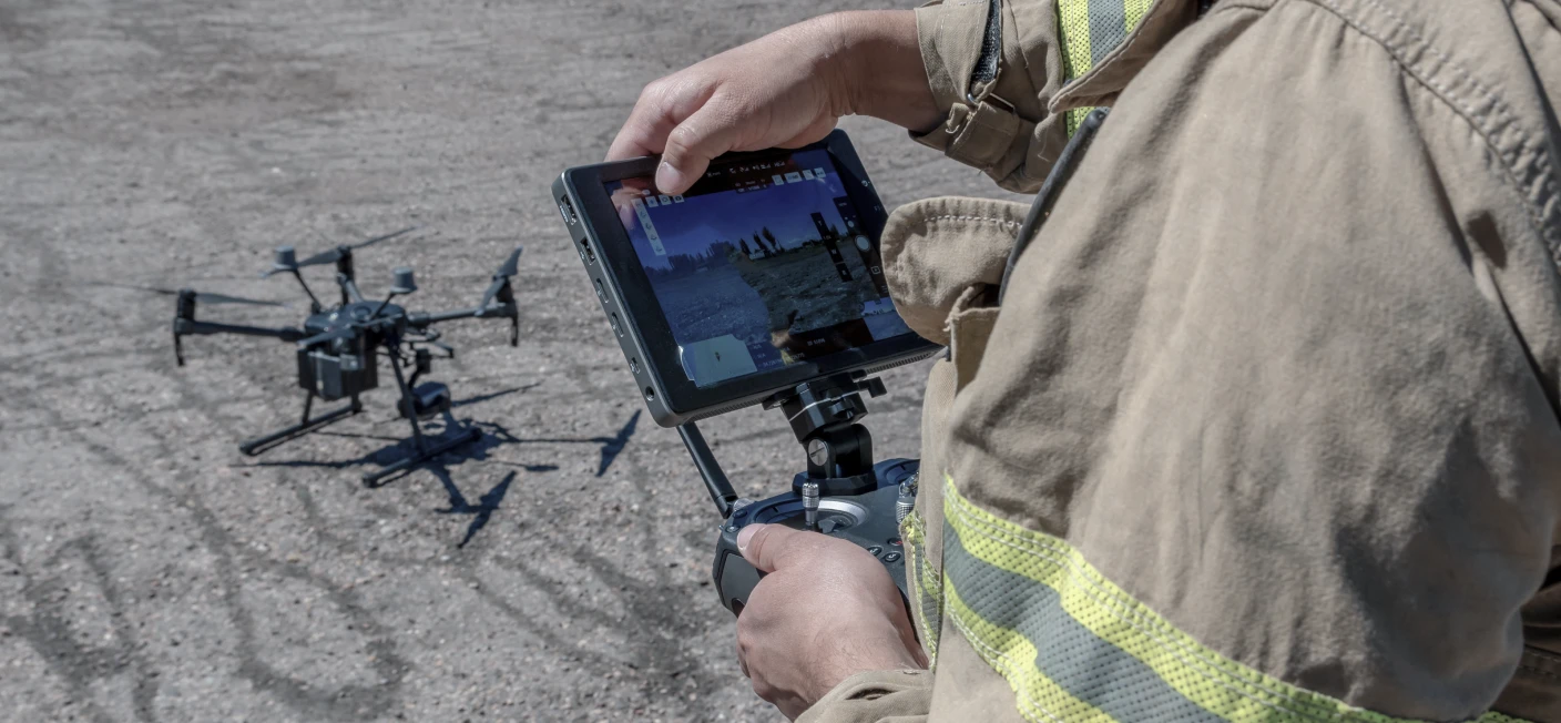
Disaster Response
Rapid assessment of affected areas, providing accurate and timely data for relief operations.
Infrastructure Monitoring
Continuous surveillance of critical infrastructure, ensuring early detection of potential vulnerabilities.
Urban Planning & Environmental Monitoring
High-resolution aerial mapping to aid urban development projects and environmental assessments.
Aetosky Expertise in Drone Draping
Aetosky delivers advanced drone draping solutions for defense, intelligence, and civil agencies. Our products, including Aetos AI, Aetos Cube, and Athena, integrate seamlessly with drone platforms to enable:
Automated Data Processing
Transform raw drone data into actionable insights through no-code AI and predefined workflows.
Visual Intelligence
Utilize Aetos Canvas for real-time visualization of multi-layered data, empowering decision-makers with critical insights.
AI Validation
Leverage Aetos GO to conduct field validations, ensuring the accuracy of AI-generated results.
Discover how Aetosky can modernize your GEOINT operations
We use cookies to improve your experience, analyze site performance, and personalize content and ads. You can accept all cookies or customize your preferences to control which cookies are used.
We use cookies categorized as follows. You can enable or disable these based on your preference. Please note that disabling some cookies may impact site functionality.