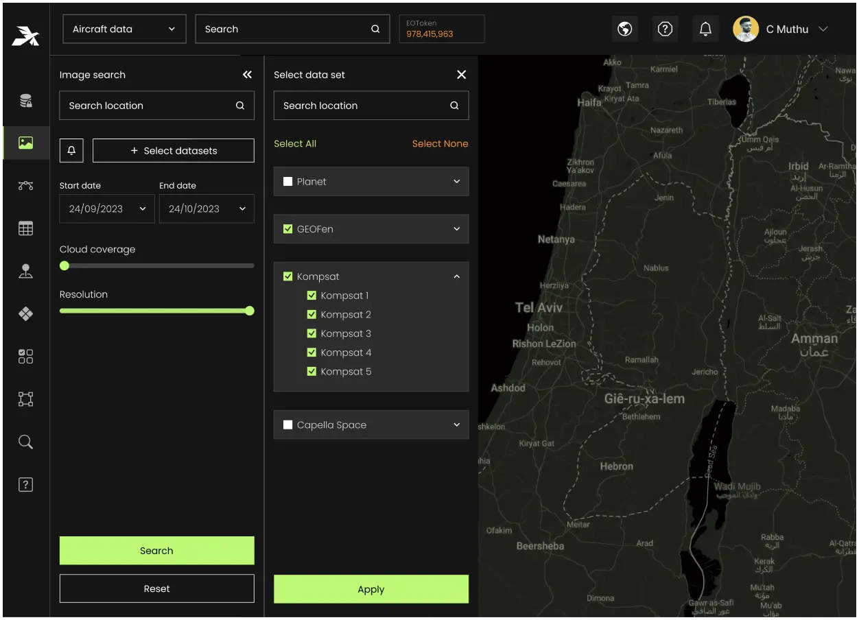
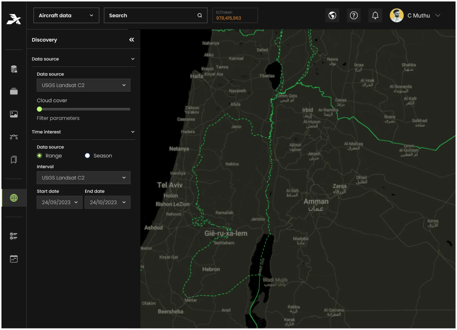
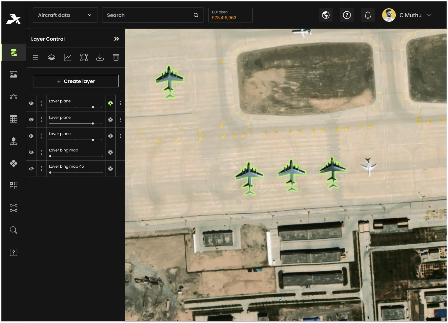
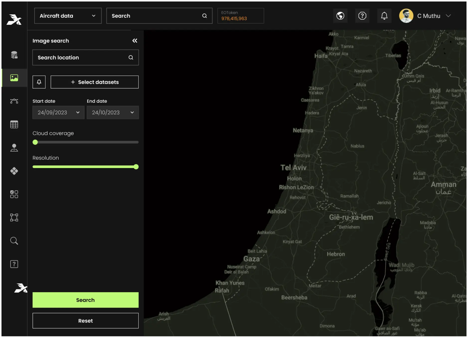
We know that generic data management solutions can’t handle the demands of mission-critical geospatial operations. That’s why our platform is purpose-built for your data
Overcomes the limitations of traditional data storage by integrating multi-sensor data for real-time geospatial analysis in ISR missions. Enhances intelligence gathering, operational efficiency, and mission effectiveness.
Aetos Cube addresses the bottlenecks of hierarchical data storage, enabling civil governments to manage large, diverse datasets for urban planning, disaster response, and environmental assessments. Its advanced infrastructure supports multi-source data integration and efficient processing.